T-Mobile
3D RF Coverage Mapping Using Aerial Drone Data
Background: - Radio Frequency (RF) coverage mapping is crucial for optimizing the performance of wireless networks, managing interference, and ensuring robust connectivity - Traditional methods of RF data collection and coverage mapping can be resource-intensive and may not provide a comprehensive three-dimensional view of the RF environment necessary for testing massive MIMO and higher frequency bands - Placement of outdoor home internet devices by T-Mobile customers is non-intuitive and requires professional installation in most cases. Our approach is to use 3D maps to intelligently pre-select best location for customer and minimize installation costs. - Implementing drone technology can potentially enhance data collection capabilities and provide intricate 3D RF coverage maps This student team will work to develop a drone-assisted testing methodology to collect RF data and build an application to visualize this data creating a comprehensive 3D RF coverage map. The map this student team is working to create will be validated against 3D prediction models and apply machine learning to predict optimal locations for outdoor home internet devices. The RF Data Collection & Analysis this student team will work to collect and provide includes: - Data Acquisition: Utilize advanced logging tools for RF data capture - Drone Flight Plan: Plan and design flight plans for thorough data collection - Data Processing: Analyze RF data for signal strength, noise, beam pattern and other performance metrics. - Network Analysis: Identify and evaluate dead zones, interference, and signal strengths for future enhancements For the 3D Coverage Map, this student team will work to provide: - Application Development: Create a user-friendly application for visualizing 3D RF maps - Data Visualization: Process large datasets to generate accurate 3D RF maps - RF Model Validation: Validate and refine existing coverage prediction models - Home Internet Device Placement: Use machine learning to predict optimal home internet device placement The outcomes this student team will work toward includes: - Enhanced testing capability with drone-assisted 3D RF data to improve network performance - Enable outdoor home internet solutions with optimal device placement predictions - Reduce carbon footprint and operational expenses compared to traditional testing methods The deliverables this student team will work to provide include: - An application capable of generating detailed 3D RF coverage maps using drone-assisted RF data - Comparison with existing 3D RF propagation models - ML model to predict optimal CPE device placement based on 3D RF data - Presentation to T-Mobile leadership with findings, impact, and future recommendations - Final report and poster presentation showcasing UW Capstone project results
Faculty Adviser(s)
Jose Gutierrez, Electrical & Computer Engineering
Related News

Mon, 10/13/2025 | UW Mechanical Engineering
Capstone collaboration leads to award
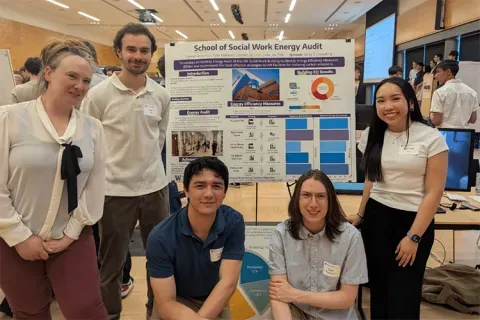
An ME capstone team received first place for its energy audit of the UW School of Social Work building.

Thu, 07/17/2025
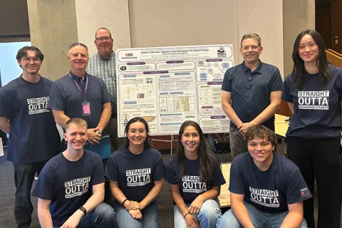
UW engineering students develop smart ballot solution
UW engineering students develop smart technology solution to improve ballot collection for Snohomish County.

Mon, 07/07/2025 | UW Mechanical Engineering
Capstone creations
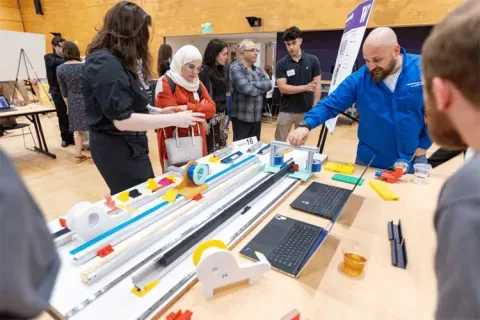
Students displayed innovative capstone design projects at the 2025 expo.

Fri, 09/20/2024 | UW Civil & Environmental Engineering
Smarter irrigation for a greener UW
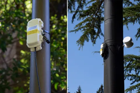
A new project combines satellite data with ground sensors to conserve water and create a more sustainable campus environment.